Projects
Explore our latest work and initiatives

Urban Mining for Circular Construction: A Geospatial Framework for Material Recovery Assessment
An interactive Shiny application for evaluating circular economy potential in construction projects through spatial analysis of building material flows and demolition timing in Gothenburg, Sweden
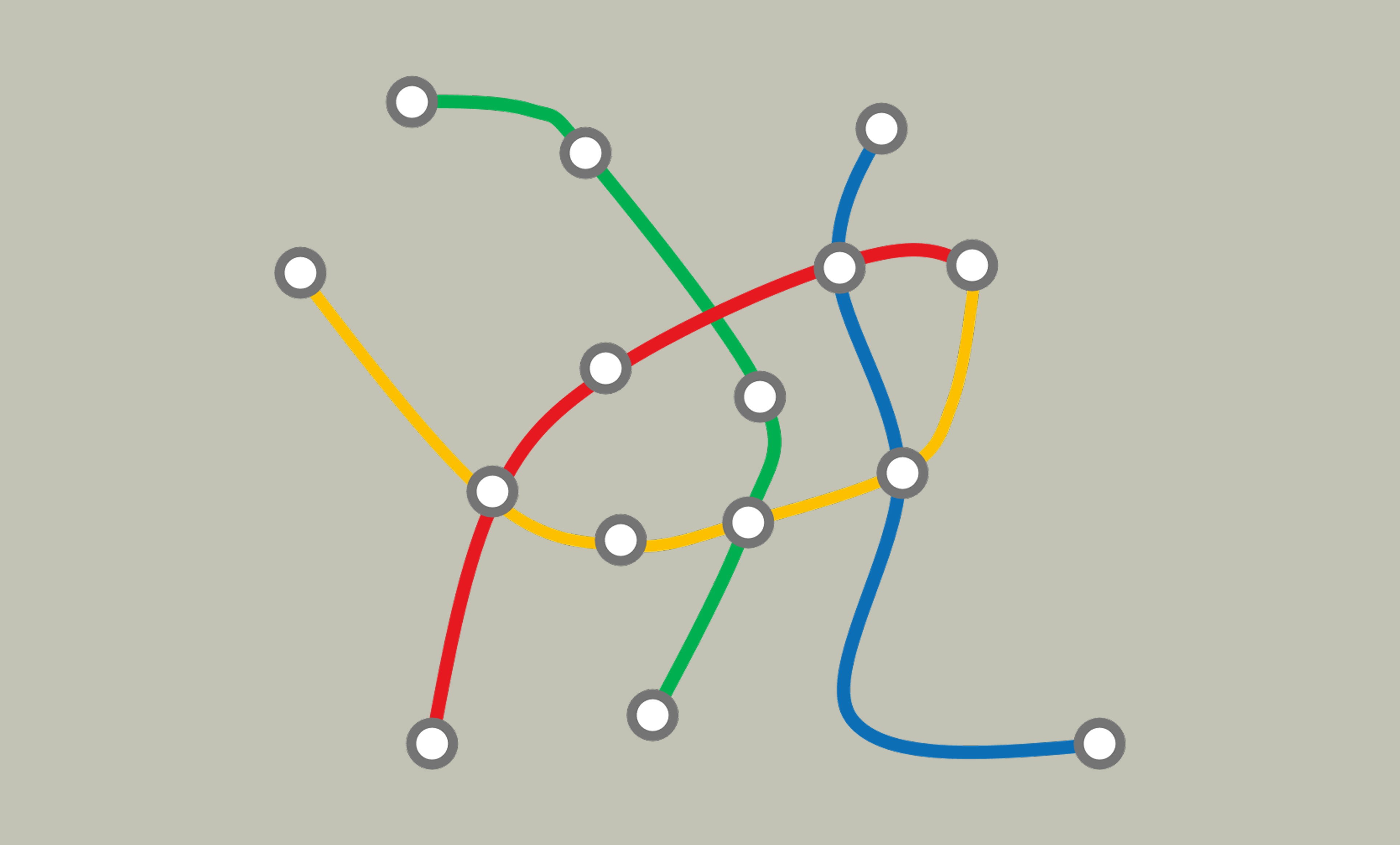
Global Metro Visualization - Interactive Transit System Explorer
A web-based visualization platform that transforms GTFS transit data into interactive, animated maps showcasing metro systems from major cities worldwide

Birds of Gothenburg - Interactive Learning Platform
A gamified web application for learning about urban bird species through interactive memory games, sound identification, and scientific data exploration
Energy Performance Simulation Manager (EPSM)
How NODAL developed a custom simulation platform to help researchers at Chalmers University of Technology analyse building energy performance at scale

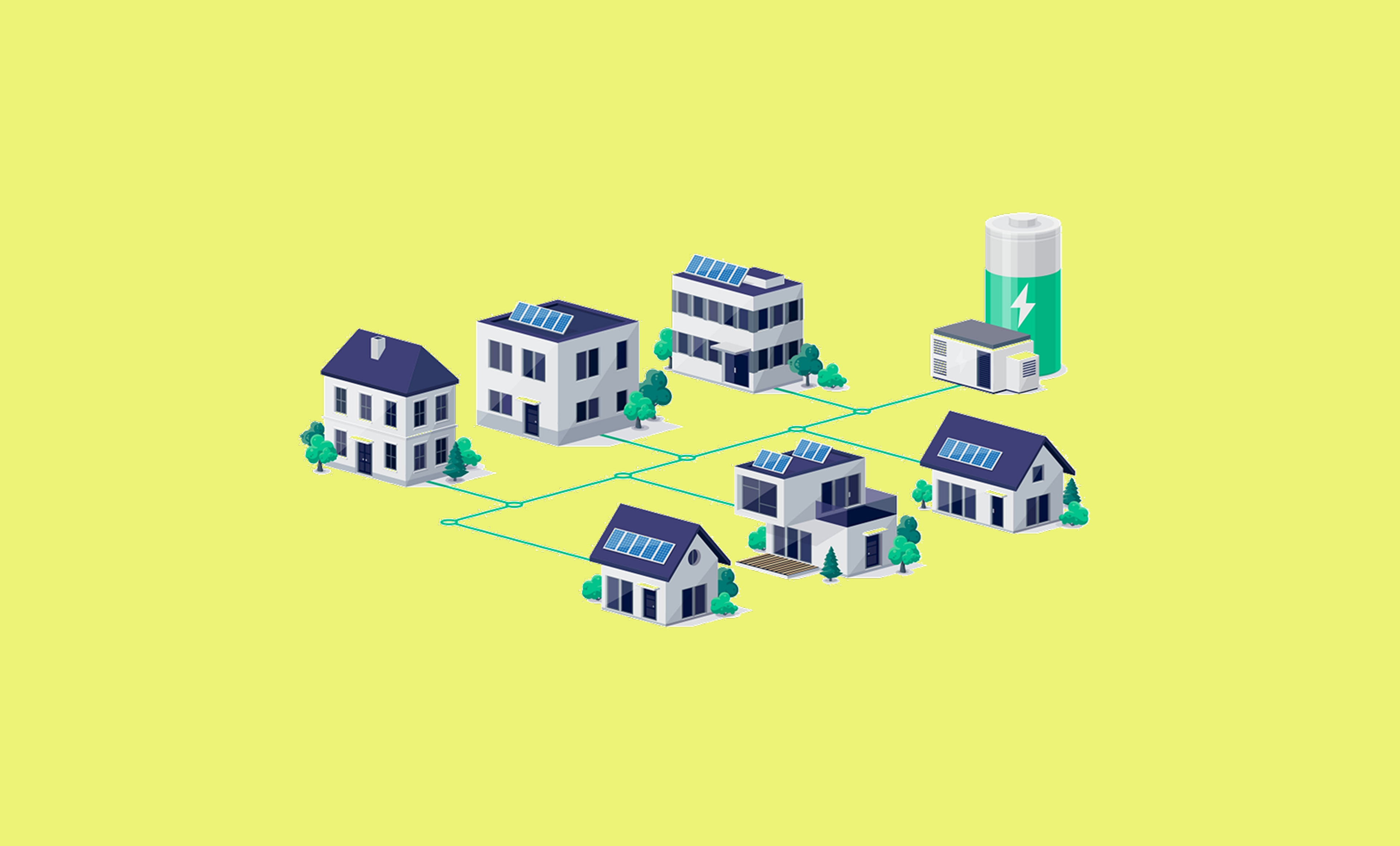
Parametric Design Tool (PDT)
How NODAL developed the Parametric Design Tool (PDT) for 3ti Energy Hubs—a complete solar design, analysis, and visualisation platform—later acquired by EGG Energy in the UK
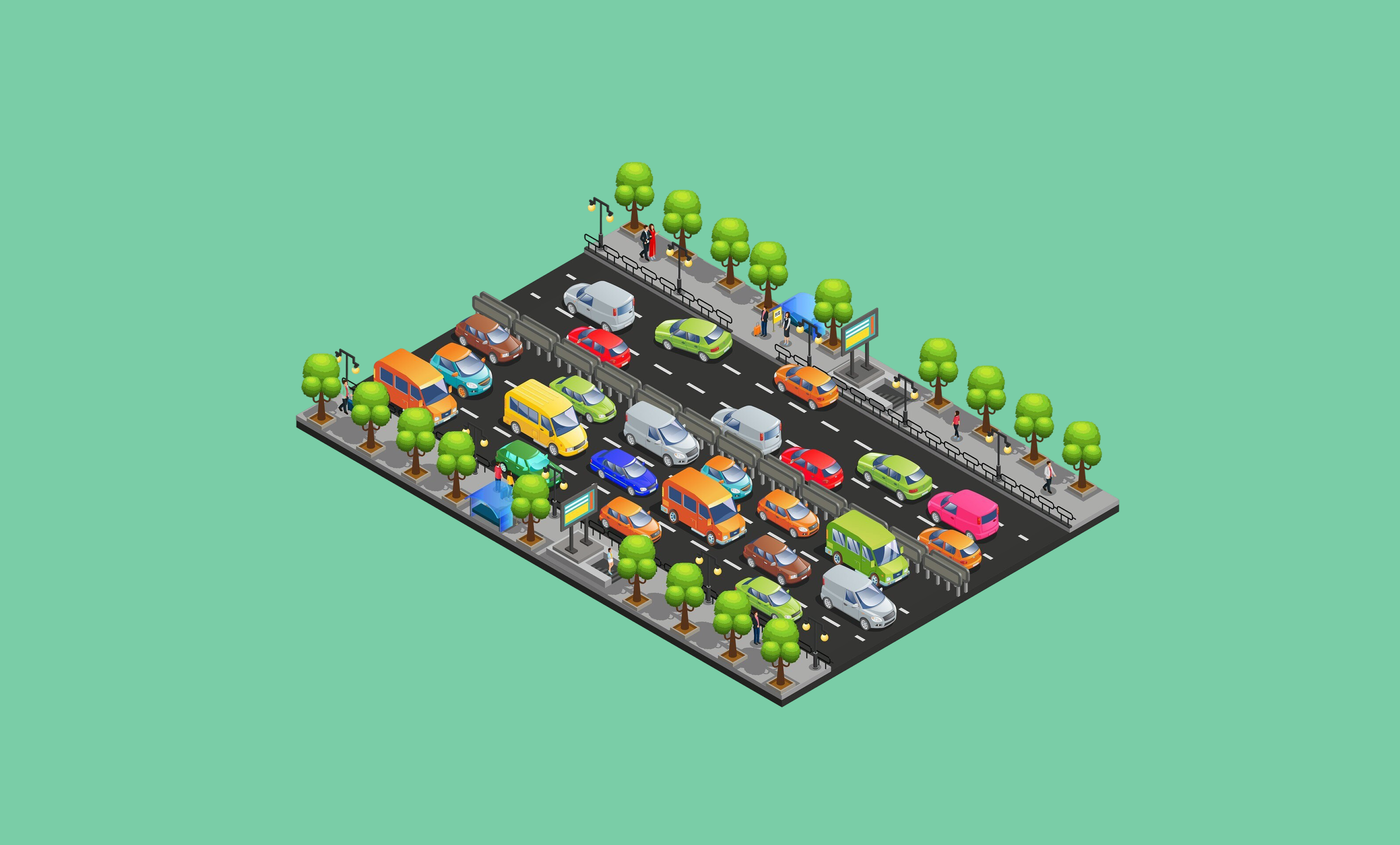
Mapping the Spatial Distribution of Urban Traffic Congestion
A geospatial analysis framework for quantifying and visualizing intra-urban traffic congestion patterns across European cities using Google Distance Matrix API and spatial analytics
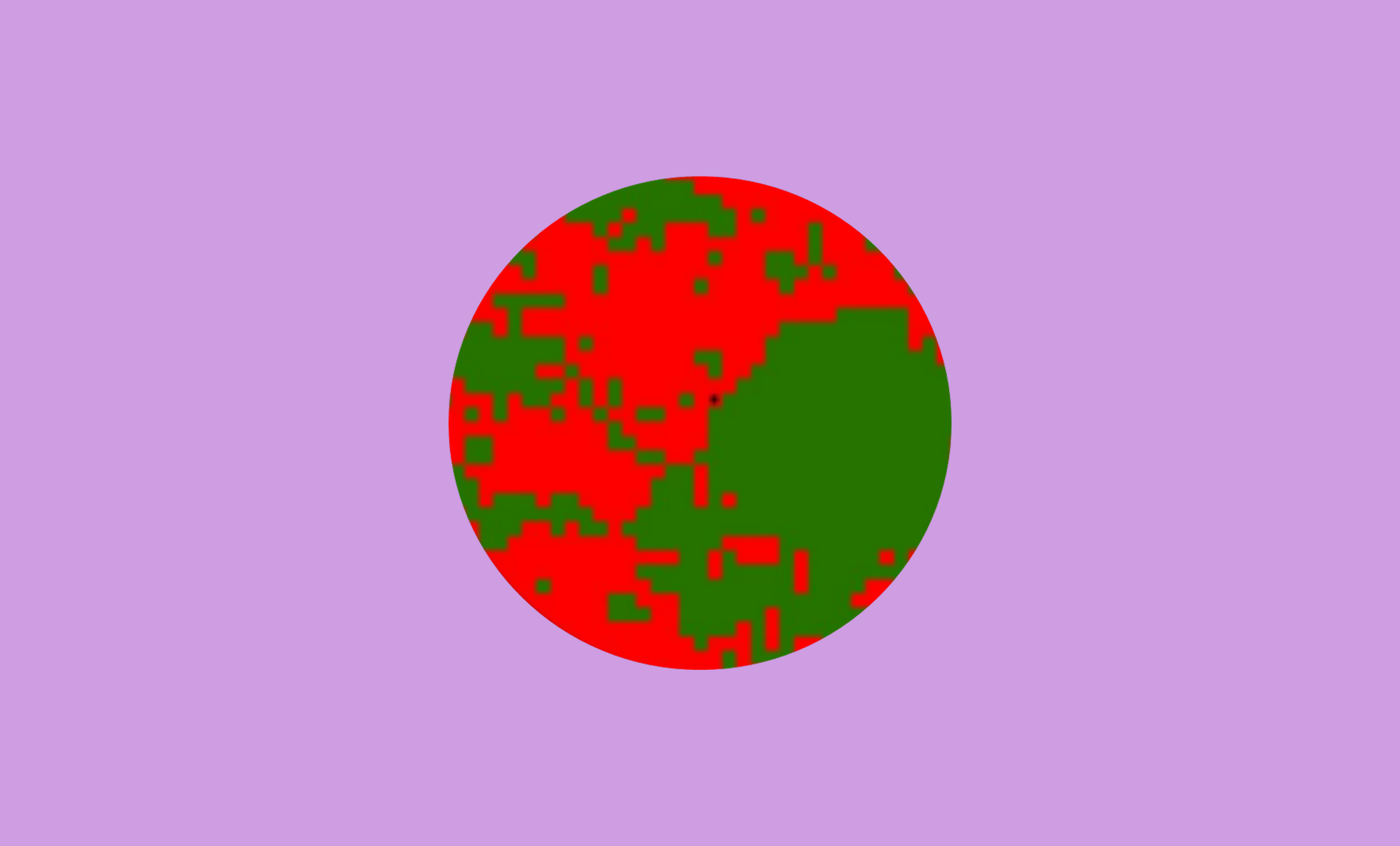
Growth of the Metropolitan Region of Buenos Aires through Satellite Image Analysis
A comprehensive territorial analysis using satellite imagery and GIS to quantify urban expansion patterns in the Buenos Aires Metropolitan Region from 1990-2010